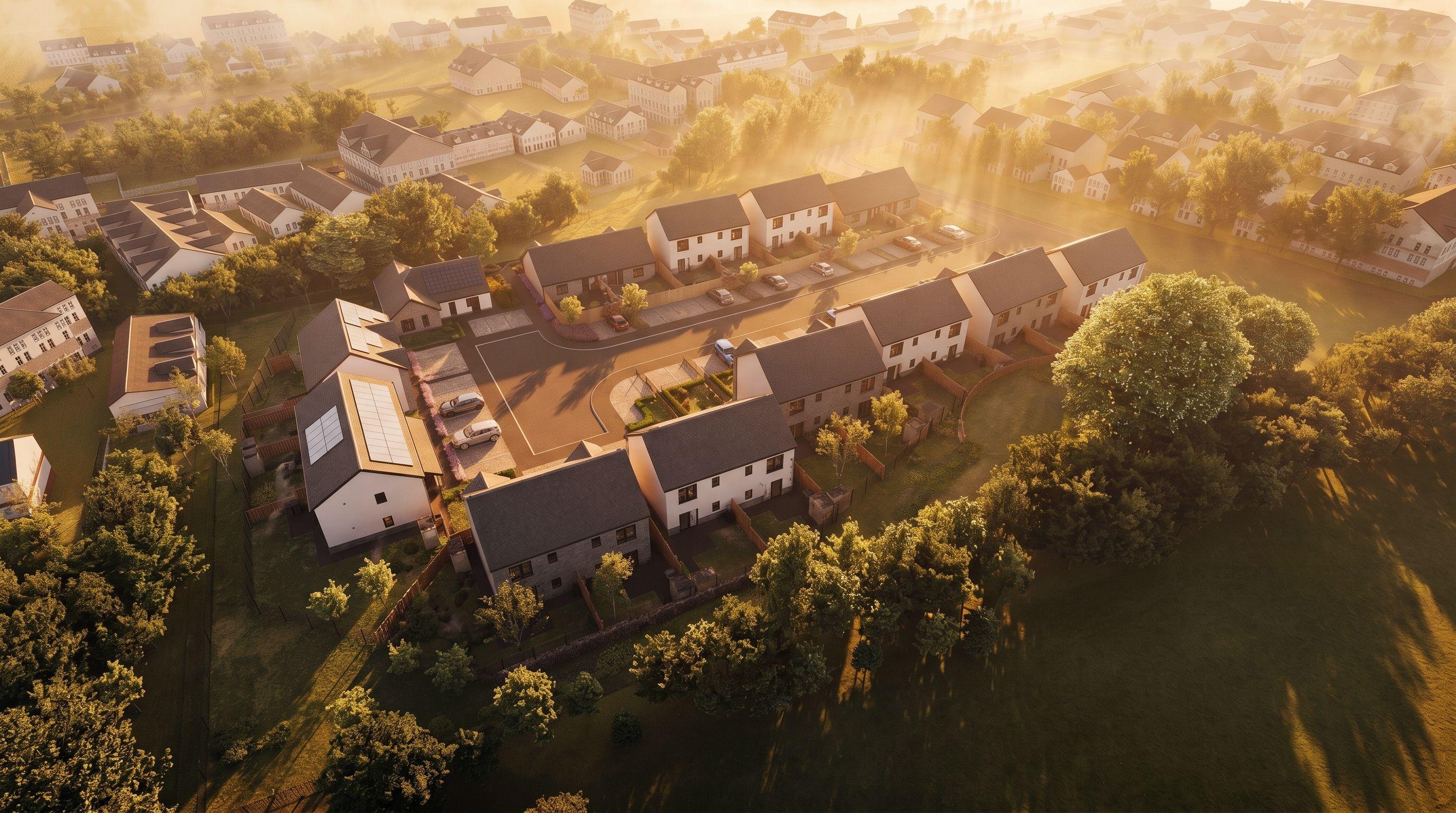
Working Around the Roots: How We Visualised the Adra Masterplan
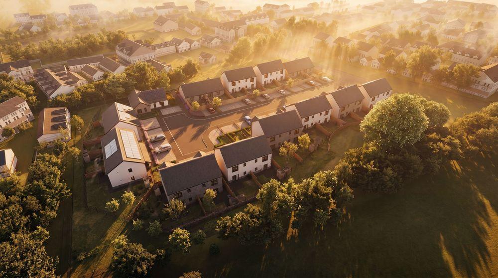
It is easy to make a development look sharp when you are handed a flat, empty field. But the real world is rarely that generous.
The site for the Adra residential scheme came with a very specific, stubborn challenge: an uneven, sloping piece of land tightly boxed in by a collection of mature, historical trees. These trees were not decorative afterthoughts; they were protected, established fixtures of the local landscape that could not be moved or compromised.
For our team at Dynamic X , turning this complex plot into a viable residential visual wasn't about dressing up a generic design. It was about using site data to show how new homes and nature could sit side by side without conflict.
1. The Land, the Trees, and the Data
Before opening any 3D software, we had to get a grip on the physical land. The site had noticeable drops in elevation and a tight boundary, meaning every house, driveway, and path needed to be justified against the natural contours.
We brought in the raw topographical survey and 2D CAD files to build the terrain accurately from the ground up. At the same time, we digitally mapped each of the historical trees marking not just their canopies, but their root protection zones.
This formed our landscaping scheme. Instead of forcing a rigid masterplan onto the plot and clearing what was in the way, the data dictated where we could and could not build, safeguarding the trees from the very start.
2. First Draft: Getting the Roads and Shapes Right in Clay
When working on architectural CGI, jumping straight into brick textures and glass reflections is often a trap. Surface details can distract from basic spatial flaws.
For our first draft, we stripped everything back to a plain white clay model:
Setting the Roads and Access: The main priority was seeing how the internal access roads, turns, and pathways wound through the site and negotiated the slopes.
Volume and Spacing: We checked how the scale of the buildings sat against the ground levels and ensured they maintained a safe, respectful distance from the tree trunks.
Testing the layout in pure clay meant the client, architects, and planners could review the functional spine of the scheme before worrying about aesthetics.
3. Second Draft: Adding the Environment and That Puddle
Once the basic layout and road geometry were locked in, the second draft was all about context and real-world behavior.
We layered in the surrounding greenery, foliage, and natural ground cover. Crucially, we did not present a sterile, perfectly dry site. The natural dips in the topography meant rainwater gathered in low-lying hollows during wet spells.
Rather than smoothing that away, we simulated that natural water accumulation right in the dip. Showing the puddle and water retention gave everyone an honest, realistic look at how ground runoff interacted with the terrain, proving that the proposed layout respected natural site drainage rather than fighting it.
4. Day into Dusk: The Final Story
The final delivery needed to speak to two different audiences: local planning officers looking for technical reassurance, and future buyers wanting to picture their life there.
We developed two distinct visual lighting setups:
The Daylight Render: Clean, bright sunlight showing the brickwork, rooflines, private gardens, and the road infrastructure functioning as a cohesive neighbourhood.
The Evening Render: A warm dusk setting where internal lighting glowed through the windows, bollards softly lit the footpaths, and subtle uplighting caught the historic tree trunks, reflecting quietly off the pooled water features.
Why the Process Matters
The Adra scheme shows that good architectural visualisation is more than marketing polish. By building from raw topographical data, testing access in clay, protecting historical trees, and showing how the site behaves when it rains, 3D CGI becomes a practical tool for solving planning problems and building trust with the community.